

We've implemented

Multi-Geophysics Data Processing
Front End successfully completed a comprehensive electromagnetic (EM) data processing project for NEOM. This involved airborne EM data (TDEM) covering approximately 6,400 line-kilometers with variable line spacing, as well as ground EM data (tTEM) over two blocks totaling 200 line-kilometers.
The processed data played a crucial role in supporting hydrogeological/groundwater resource investigations and geotechnical assessments across diverse project regions. The project encompassed EM data processing, EM data inversion, modelling, uncertainty analysis, and EM interpretation, providing valuable insights into the LINE infrastructure area.
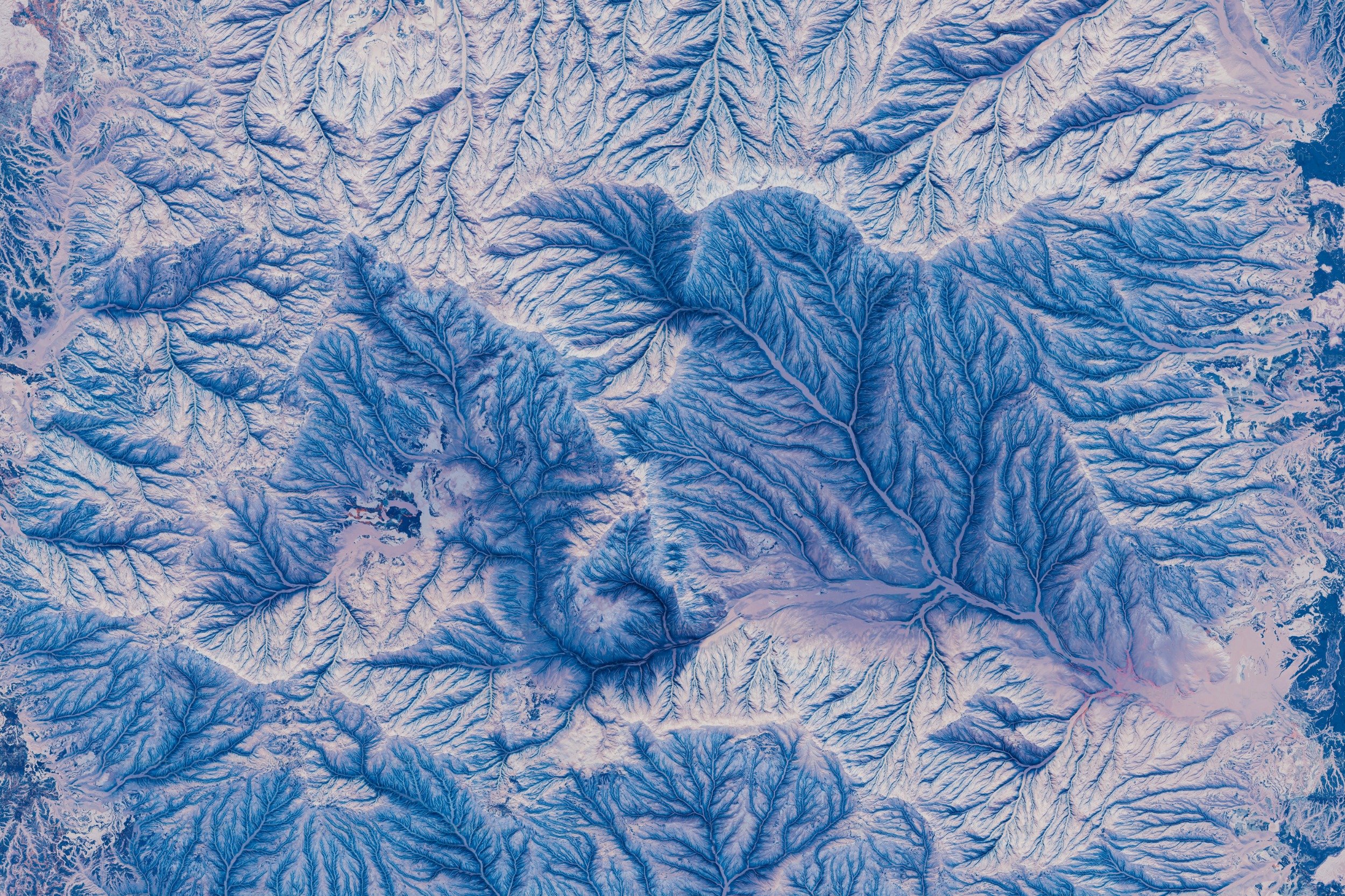
Airborne Hydro Geophysics Survey
Front End successfully completed a comprehensive electromagnetic (EM) data processing project for NEOM. This involved airborne EM data (TDEM) covering approximately 6,400 line-kilometers with variable line spacing, as well as ground EM data (tTEM) over two blocks totaling 200 line-kilometers.
The processed data played a crucial role in supporting hydrogeological/groundwater resource investigations and geotechnical assessments across diverse project regions. The project encompassed EM data processing, EM data inversion, modelling, uncertainty analysis, and EM interpretation, providing valuable insights into the LINE infrastructure area.